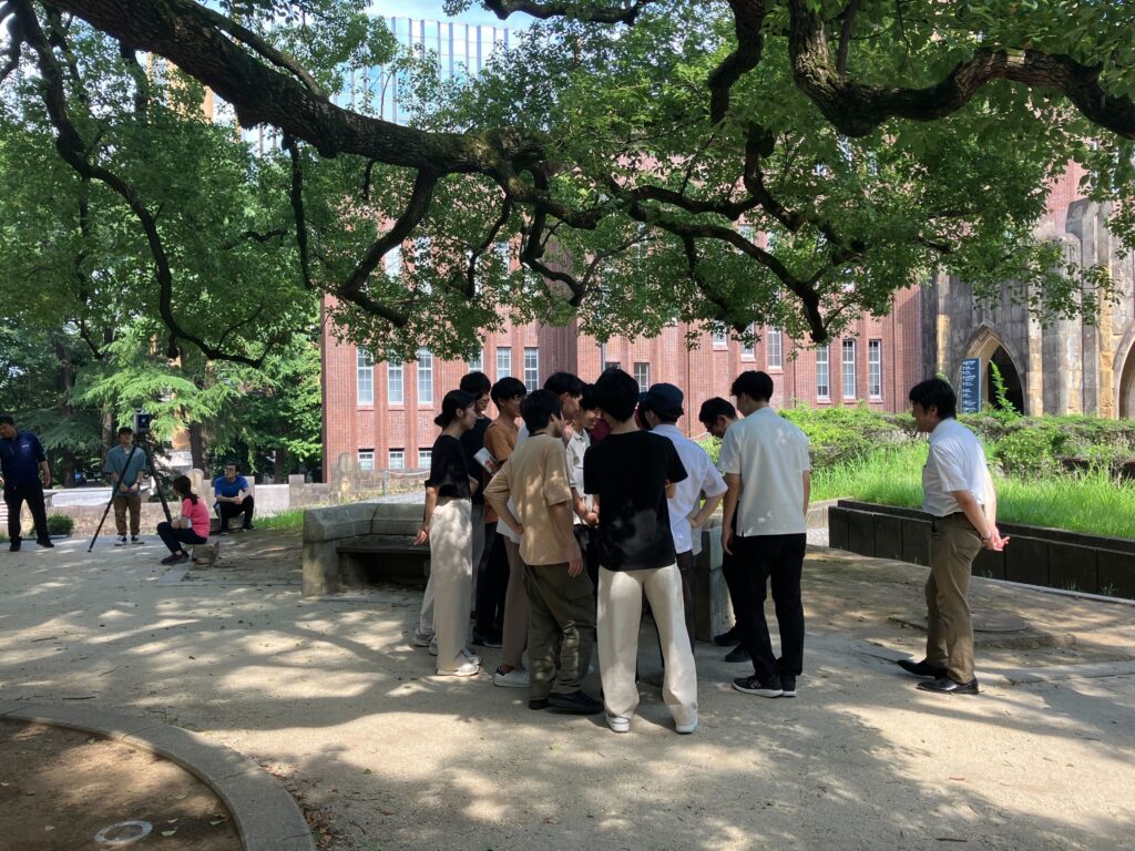
今週8/5(月)~8/7(水)の3日間に渡り,主に学部3年生を対象にした空間情報学実習が開催されました。最高気温が35℃に迫る酷暑の中、日本測量協会と千代田測器の方々にご協力いただき、学生38人が実習に取り組みました。
初日と2日目は三四郎池の周りで水準測量とトラバース測量に取り組み、最終日は写真測量と最新測量技術を体験しました。
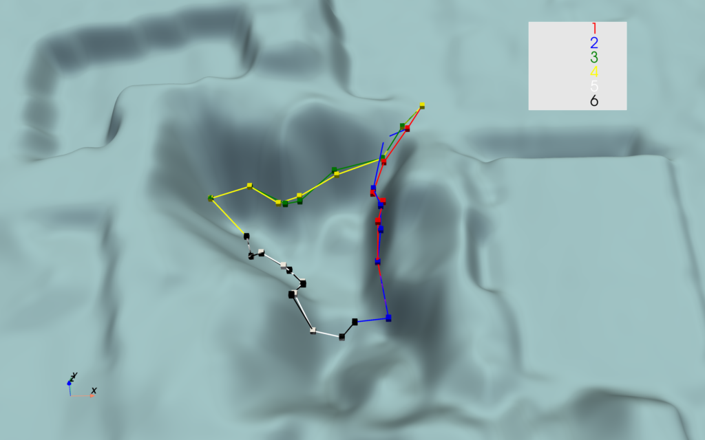
水準測量とトラバース測量は、各班とも手際良く取り組んでいた印象で、全ての班が暗くなる前に測定を終わらせることができ、往路と復路の較差や既知点間の閉合差なども全て基準値以内に収まっていました。暑い中でしたが、集中して測定したことの表れだと思います。皆さんの測量成果を地図と重ね合わせた図、地形データと比較した図を作成させていただきました。

最終日は、手持ち式で点群を取得し地図を作成する機器など最新の技術の紹介があり、熱心に聞き入り質問していたのが印象的でした。
3日間、本当に暑い中でしたが、皆さんお疲れさまでした!泥臭く取り組んだことはきっと糧になると思いますし、なにより皆さんの共通の思い出になることと思います!!同期と会う時は思い出してみてくださいね!
From 5 (Mon) to 7 (Wed) August, geoinformatics project was held, mainly for B3 students. Thirty-eight students undertook this project in the extreme heat, with maximum temperatures approaching 35°C. On the first and second days, the students worked on levelling and traverse surveying around Sanshiro Pond in Hongo Campus of the University of Tokyo, and on the final day they experienced photogrammetry and the latest surveying technology. I got the impression that each group worked very efficiently on the leveling and traverse surveying. And all groups were able to complete their measurements before the sunsets and keep errors within the standard values. This is a sign that they concentrated on their measurements despite the heat. We were able to produce a diagram showing your survey results superimposed on a map and compared with topographical data.
On the final day, the latest technology was introduced, and it was impressive to see how eager them were to listen and ask questions.
I am sure that this experience will help you in your life and be a common memory for all of you! Please try to remember this when you meet your peers!
投稿者 (poster)│嶋野 (Shimano)